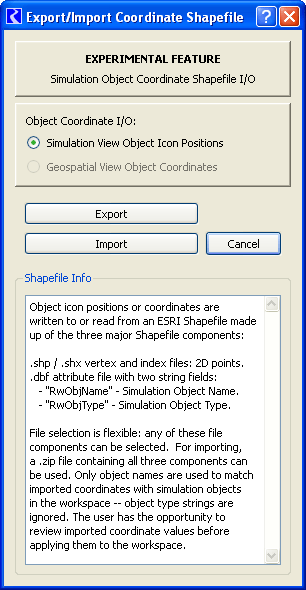
Object icon positions or coordinates are
written to or read from an ESRI Shapefile made
up of the three major Shapefile components:

.shp / .shx vertex and index files: 2D points.
.dbf attribute file with two string fields:
   - "RwObjName" - Simulation Object Name.
   - "RwObjType" - Simulation Object Type.

File selection is flexible: any of these file
components can be selected.  For importing,
a .zip file containing all three components can
be used. Only object names are used to match
imported coordinates with simulation objects
in the workspace -- object type strings are
ignored. The user has the opportunity to
review imported coordinate values before
applying them to the workspace. |


